-40%
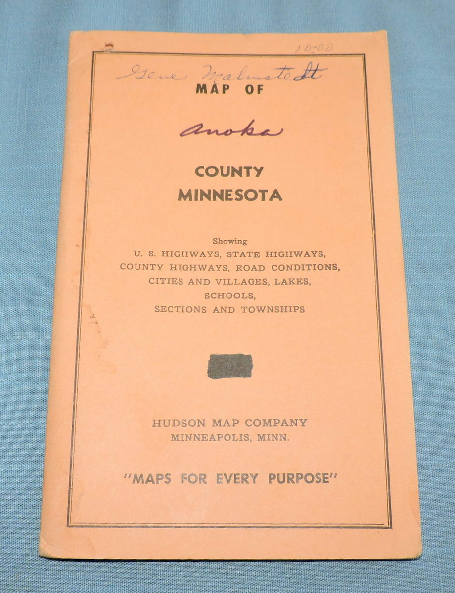
1968 General Highway Map of Anoka County
$ 6.83
- Description
- Size Guide
Description
This is a general highway map of Anoka County, Minnesota. It was published by the Hudson Map Co. in Minneapolis, Mn and issued by the MN Dept. of Highways. It shows US highways, state highways, county highways, road conditions, cities and villages, lakes, schools, sections and townships plus more. It has a legend, scale of miles, 16 inset maps, and a small map of MN showing where Anoka County is located in the state. The map is still attached to the folder. The folded map measures 7 1/2" by 4 3/4".Cover is stained, written on, has a hole in the upper left hand corner and the edges and corners are worn and bumped. The map is in good condition, but there are stains. See photos.
Free first class US shipping. We try to ship within 3 days of receiving your cleared payment.
Thank you for looking! Please contact us with any questions.
Check out our other items!


